Wednesday, May 04, 2016

2016 Romney Cycles Camp and Ride

4/29/16 - 5/1/16

Being a veteran of Romney , and living on a sandbar for most of the past year, I decided to take a vacation day and drag a camper and motorcycle from central FL to Romney, WV to attend the 2016 Romney Cycles event.

Fourteen hours, 750-ish miles, and two brief stops later, I gave up and overnighted at a Walmart in Staunton, VA, 150 miles from Romney.  I was sick with dehydration and from running exclusively on Cliff bars.

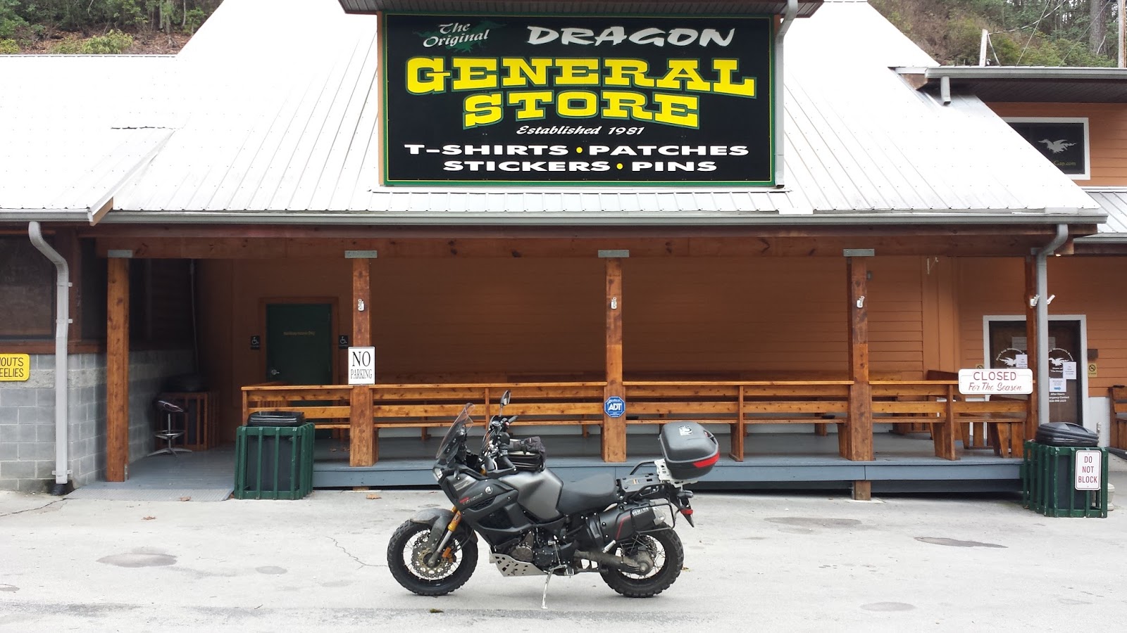
An early start and lots of shifting along rt 50 brought me thru the fog to my destination, deploying the bike in the Romney parking lot by about 9:30AM.


Expecting a large crowd, I parked close to the only other "RV" yet to arrive to allow room for other would be later-comers who never materialized.  I needlessly crowded Ann and Mike from Ohio, whose company I would enjoy for my whole stay in Romney.
Having spent more than a full day driving to come to WV to ride, I got right to it.  I headed SW, in the general direction of Dolly Sods, with no particular course in mind.  In short order I was between a pair of sheer rock walls with a creek to one side of the road.  I pulled off to absorb the place for a while.  I listened to the birds and smiled up at the rock faces for at least a full 15 minutes before a single car went by.  The solitude and pace of this place is restorative.


Still not having really eaten much besides a few Cliff bars since breakfast yesterday, I stopped at a Sheetz for fuel and a sandwich.  I parked next to pair of cruisers and chatted for a bit with their friendly riders, who'd both come some distance to meet here and start a trip together.


On to Dolly Sods.  I have nothing but fond memories of the long, easy, gravel roads that lead up to and along the wilderness here.  I've traveled them two or three times, so it's officially "tradition."  I don't go to WV without climbing up here.  I crawled out onto some of the Bear Rocks, took some pics, and spent another half hour just being there: watching the hawks, guesstimating distances, feeling small, and contemplating the unfathomable time and forces involved in such a place coming into existence.  For another half hour, I did not see or hear another human or their machinery.  If there was a drug that made me feel like that in "real life", I'd be an addict.


On the way back to Romney, I passed thru a cut which wouldn't have merited more than a smile for most of my life.  Living on a sandbar denies one any sense of "vertical" and "geology."  I stopped here, shot some GoPro riding thru, and picked at the frangible sandstone layers.


Another overlook on the highway back to camp.  Pictures.. justice.. had to be there.


A roadside cut just outside of the town of Romney.  Again, mountain folk are probably oblivious to this sort of thing.  The little green band on top is a forest.  If those trees are 20-40' tall, how big is this cut?


Back at camp, the food concessionaires fed me well, and I was cordially invited to hang out with my neighbors under their canopy.  I eventually turned in to a warm, dry, camper, which - despite having no hookups - had a half tank of Florida water and a house battery to pump it.  The difference in luxury between a truck camper and a tent approaches infinity.

...

Saturday morning, the food vendors again fed me well, and again I was cordially invited to eat breakfast with my new friends next door.  We talked about riding plans and ultimately decided the three of us would do the Green Ridge loop.  We set out for what turned out to be a long, slow, somewhat boring slog.  At a gas stop we all expressed disappointment at the lack of "off pavement" travel this supplied route included.
Eventually, tho, we reached the muddy part.  Very early on, we passed an abandoned rail tunnel in the woods.  We stopped for pics and a look around. Before we started moving, I set up the GoPro.


I was soon confronted by the first of what would be several mud/ water crossings which were a bit intimidating for a 600+ lb bike with no crashbars, active financing, and a rider used to riding solo and turning around when the possibility of a big drop with expensive damage looms large.  Gentle encouragement from Mike and Ann saw my courage up to passing thru several situations which seemed as simple and effortless on the way out as they seemed dicey and potentially disastrous on the way in.

My sudden short stop here caused Ann to fold up behind me and drop her bike. In my mind, the bottom of these puddles was somewhere between greasy (lose traction and dump it) and squishy (bury the back tire to the axle).  Alone, as equipped, I would absolutely have turned back here after psyching myself out about dumping it in BFE.  The bottom was solid, the crossing uneventful.


The three of us sloshed thru the woods for rest of the route, stopping at a scenic overlook for some pics which I now can't find.  After crossing the wooden toll bridge back into WV from Maryland, we split up and I sprinted back to camp, where I was again fed, and again supped with Mike and Ann.

My "street cred" from the morning's festivities would later get largely washed away by the rain.


After lunch, Mike loaded up his GPS with the "easy dirt" route, and I headed back out under threatening skies.
The route was dry and rocky, affording much faster travel than the morning's unpaved sections.  My confidence boosted from earlier successes, I started sliding the back around corners and wringing it out a bit.  It's still a 600lb bike, but I begin to see where a confident, skilled, off-roader would push this bike.

At some point along the route, I passed an abandoned homestead along the side of the road.  A house and several weathered outbuildings in the slow process of collapse and overgrown with trees beckon the imagination to invent details of the lives of the people who must have lived here.
Their story inexorably ends when a tipping point between being able to maintain the property - or maybe being worth it - is crossed, and nature slowly reclaims the land.
Places like this are an homage to the mercilessness of time.  People sat on that porch, slept in those rooms upstairs.  People lived their lives here - possibly for generations.


With waning light and threatening weather, I again pointed my bike towards Dolly Sods.  I climbed up from the Bear Rocks side into dense fog and limited visibility to birth another tradition: the threat of running out of gas on top of Dolly Sods.  When I reached the other end, I clutched in and coasted the 5 or 6 miles out of the clouds and down to the highway and gassed up at the first town I came to.  A high-speed slog back to camp up rt 220 - my gear did a fair job of keeping me dry as the rain started about 30 minutes out.

Back at camp, I was fed the "free meal", with cake.  Again I ate with Mike and Ann sheltered from the rain under their canopy, reviewing the day's highlights.  Rain pushed the raffle and speeches into the dealership.
  
In the dying light following the formal rally activities, I decided to load up and put a few hours behind me.  After securing the bike on the trailer, I went next door to say my goodbyes and thank-you's.  Not surprisingly, I was invited to sit down and ended up talking to Mike and Ann for a few more hours.  Intermittently, "squeaky Pete," a drunk KTM guy from DC with the noisiest boots ever made, would slur something derogatory about Mike's KLR or ask how things were going from the campfire nearby.  I tried to be delicate about expressing some of my crazier opinions.

Sunday morning I got out before 7AM and rolled many, many miles home in intermittent rain and fog.  Somewhere in GA a strange noise revealed that the camper's siding had succumbed to the wind and was being peeled off.  I wedged our outdoor mat between the roof of the truck and the camper overhang to prevent further destructive flapping and made it the rest of the way home without further incident.  
 

Somewhere along the way, I was passed by a truck with a heavy equipment load. Someone had strapped down a Tonka truck on the empty half of the flatbed trailer.  I wish I could meet the person who did this.


Sunday, January 10, 2016

2016 PBR - Saturday


2016 PBR - Friday

Thursday eve, camp set:


Rich leads a mapless group of noobs and easy riders:


Surreal shot approaching the pavilion for Friday night cook-out.


Sunday, January 03, 2016

It's Winter up there = DAY 3

1/2/16 was the last of 17 straight days off.  I thought I should get a few hours of riding in before the long ride home.  I put the down jacket I should have had the prior day under my riding jacket and headed for the Blood Mt Wilderness.

A great map loaned by my campsite neighbor is apparenlty available at the Turner Store.  The "good" roads are all listed.

A depressingly short way down this road, I was confronted with a water crossing.  I stopped to survey and couldn't see a path that would put me in less than 12" of water.  Not wanting wet feet first thing, or to capsize a cherry Super Tenere in a rocky stream, I chickened out and turned back.  I would love to attempt this very tame, do-able crossing... not at 40 degrees wearing down.


With limited time, I figured "go with what you know," and headed back to Duncan Ridge Rd. off rt180 west of Vogel SP.  In a fit of confidence, I road up a faint two-track to a campsite on a bluff near the spot I'd stopped at two days ago to air down.  Rooty/ rocky, hard to turn around on, but the bike doesn't care as long as it's moving.


It's Winter up there - DAY 2 - 1/1/16

The furnace kicked on overnight - it was COLD when I woke up.  With a full day of riding in front of me, I thought the thing to do would be to ride the Dragon on the first day of the year - via the Cherohala Skyway, of course.  Put a light coat on under my riding jacket and plotted a course to Tellico Plains.

GPS dinked me around a little and eventually dumped me on rt68, which crosses the Hiwassee River and follows it for a few miles.  The river was in flood stage.


Rt68 heads twists to Tellico Plains, and early on New Year's Day, I had it all to myself.  By the time I got there I was so cold I couldn't feel my hands.  I stopped at the Hardee's for breakfast and a hot coffee, and to warm up.  I'd lost some time; they were serving lunch already.  The cold and my unpreparedness for it had me wondering if I should turn around.  After a meal, a coffee, and 1/2 hour of climate control, my confidence returned.

I headed thru "old" Tellico Plains and climbed up the Skyway.  Traffic was light, but a few passes put them behind me.  It seemed to be warming up, and I was enjoying the fast sweepers, passing into and out of clouds, and capturing it on GoPro.  I reached an overlook above the clouds and stopped for the obligatory pics.  A retired woman was there with a girl in her early 20's.  For reasons unclear, they seem compelled to share a lot of their life story, which was largely punctuated sadness.  It wasn't obvious how they were related.


Super T above the clouds.

On the NC side heading towards Robbinsville (now rt 143) a sign at a pull-out seems more "promise" than "warning."  I ponder how much elevation change this road has... and how surprisingly warm it was.


Eventually I twist my way past the Thunder Mtn gas station - which seemed to be closed for the holiday - and onto rt 129.  The Cheoah Dam reflected the high water seen earlier on the Hiwasee - heavy rains had fallen for several days before my trip.  The dam had several gates open and the discharge was impressive - there was whitewater all the way to the 129 bridge, and climbing 129 to the top of the dam covered me in spray.  I wish I'd stopped for pics but I was beginning to feel a time crunch.  I did NOT want to get stuck in the cold/ dark a long way from camp.

There were a few bikes at the General Store.  I pulled in just to re-set the GoPro and headed right up to the TOTD.  The cold had started to grip me again and I was riding distracted.  At one point I used a pull-out to let what turned out to be a trio of Victories pass me.  I was surprised at their speed, but they were crossing the double yellow.  My run down was less scary than my first pass on the VStrom had been, but I was going slow and shivering.  At the lookout, I pulled off and was having trouble figuring out if/how to deploy my side stand.  The cold was starting to affect my judgement, so I stopped to warm up.  I warmed my hands on the idling engine and let the radiator fan blow hot air into my gloves.  After a few minutes, I turned around and headed back up.

A few bikes passed me coming down, all giving the police "head tap", so I stuck to the speed limit.  The speed limit isn't such a bad thing on this road.  Near the top the Sheriff passed me coming back down.  I pulled into the General Store for a pic and to use the facilities.  A Goldwing rider came in after me, took a pic in exactly the same spot, and left as quickly as I had.


It being a fairly long slog home, I battened down and rode straight for camp, with one fuel/coffee/warm up stop in Blairsville.  I reached camp at dusk.


It's winter up there - DAY 1.5

A day of changing tires, and another day of swapping hydraulic lines and adding 2" bar risers leaves the last few days of the epic Xmas shutdown/ vacay with "warm" weather forecast for north GA.  Five hundred miles later, I arrive at the Cleveland, GA, Walmart at 11:30PM and turn in.  It's not a camping trip until you've been to Walmart, so I headed in first thing for some groceries.  
After some phone tagging, I wind up with an appointment to meet the work-camper (Craig) at Jenny's Creek at 9AM.  


Deploy bike, deploy trailer, back into site, hook up shore services, and I'm ready to roll.


My only plans for the day were to stay close to camp and try the knobbies off pavement.  Rt 129N to Turner's Corner to Rt60, on the way to Suches.  I shot some GoPro video, and detoured off to Lake Dockery on gravel.  I'd skipped this detour last time I was here due to time and tires.    
Looping rt180 around to Vogel SP, I went to the spot where I'd taken my water reflecting foliage photos a few months back.  "The" shot, in winter:


And a "then" vs. "now" shot, Fall vs. Winter:


Leaving Vogel, another feature alien to Floridians: a waterfall.  Note the viewing deck in the center right of the pic:


Leaving Vogel, I went back up rt180 to the turn-out for the WMA at 34.763963, -83.952219.
After a quick climb, I was on a summit.  The maps suggested a network of un-pavement ahead, so I aired down and rotated the bars.  I spent awhile at this spot, taking it in, being restored. 


I followed the trail up, down, around, and thru the WMA.  I encountered a pair of bikes and chatted for a minute with the riders before winding up at another "charging station", where I spent another long while trying to become one with nature.


I followed the trail until it ended near Blairsville, GA.  I stopped to eat and manage fluids and doubled back over all the gravel back to the camper, timing the daylight nearly perfectly.  The camper is so luxurious it's ridiculous.  I cooked a hot meal on a stove, fired up the furnace, threw a DVD in, and drifted off.