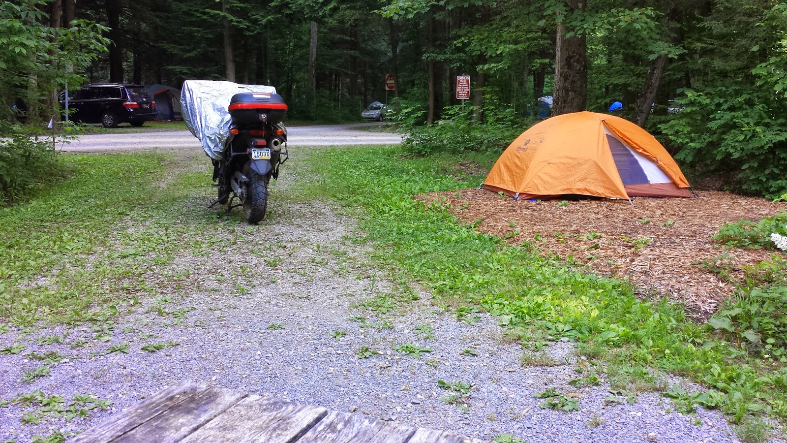
Kickstand up Saturday at 11AM for a quickie to World's End.
209 to 93 to Freeland to bypass Hazleton, but a road closure sent me thru the burg anyway. Freeland to 81N to Nanticoke and a little desperate circling for gas. Then GPS to 118 to Central, then dirt roads thru the State Game Lands to the tiny village of Normont, PA, to (I think/ GPS) to 220 to 154 to World's End State Park.
Riding a dirt road fully laden, alone, far from home, and out of cell range is about as adventurous as you can get in the NE. The only upgrades are "no wallet" and "forget some vital gear"... maybe "need a bathroom urgently."
Arrived at what turned out to the be the first of two campsites, and whilst trying to digest the complex registration process, the DCNR guys rolled up on me. Great! I can miss all the red tape. They directed me to one of 3 empty sites, took $40 promising to bring change, and left the camping area.
I putted up to my assigned site (#73) to find it occupied and tagged for departure the following day.
I headed back to the entrance, and ultimately left to find the office a few miles down the road. DCNR guys again rolled up on me to inform that #73 had been renewed for another night. After some more verbal wrestling (the guy was a former cop), I took site 1 and my change. DCNR guys left in a rush to bust some woman in a minivan for entering the parking lot from the wrong end (shouting "ONE WAY!! ONE WAY!!", they sped off).
Back at site #1, I set camp and fried some meat in my $4 Unclaimed Freight frying pan.
With lots of day left and a lightened bike, I rode in search of a lookout I'd found on Google maps. I was pleasantly surprised to climb a steep, well-maintained dirt road out of the campsite. Shortly, I was at one of the two World's End vistas: High Knob Overlook. Perfect weather, beautiful sky, really neat infogram.
Dry Run Rd is a dirt/ forest route which descends the knob to the east delivering you to Rt 87. Somewhere along this route I saw what looked like a trio of emus in the road. They moved up a spur as I approached - I followed long enough to ID them as a flock of female wild turkeys... I've never seen turkeys so close.
Down at 87, I headed back thru the valley, stopping a little store in Forksville for food (they had none). I made it back to camp with enough light to take a walk down to the Loyalsock Creek. The "creek" is a boulder field exposed by running water in the crotch of the mountains - exactly as I'd seen in Vermont. I started my first of many sessions of marveling at the rocks of World's End. There were concreted boulders the size of cars here - evenly dispersed as far as could be seen in either direction. I assume that means they came DOWN the mountains, not thru them. The huge variety of size, color, and wear patterns seemed like it shouldn't be so thoroughly mixed here. And if it it's concreted, the aggregate stones are older than the sandstone... and I think the sandstone in PA is supposed to be some of the oldest on Earth.
Back at camp a grey bird who'd been fluttering around definitely seemed like he wanted something from me. I think I zipped in before dark.
Subscribe to:
Post Comments (Atom)


No comments:
Post a Comment